Modeling Disasters to Prepare for the Next One
International Science Reserve community member Daniel San Martin shares how he is applying his research in scientific computing to wildfire preparation and response.

In any major climate-related crisis, access to geo-spatial-temporal datasets, mapping, modeling, and analytical tools are critical to aid recovery efforts and protect communities. Many expert researchers, especially scientists and institutions in low-to-middle income countries, lack the tools to access and analyze relevant data, to inform local decision makers on how to act rapidly and effectively.
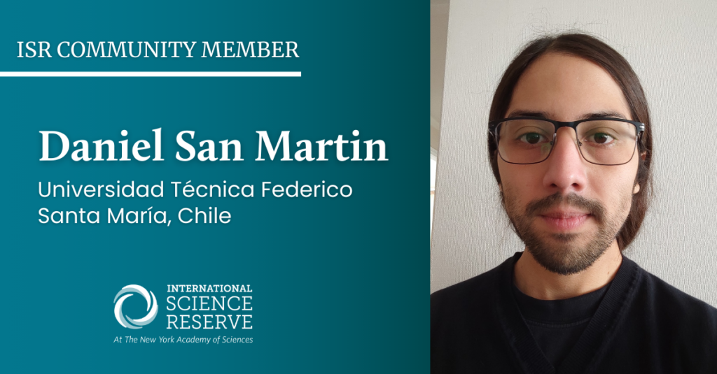
During a recent panel with the Predictive Analytics World (PAW) climate conference, we spoke with ISR community member Daniel San Martin of Universidad Técnica Federico Santa María in Chile. Daniel specializes in scientific computing with a current research focus on computational fluid dynamics, numerical methods, and high-performance computing applied to forest fire modeling.
How are you using data to inform crisis preparedness and decision-making on wildfires in your region?
Our work is not only based on data, but we also use physical models and simulations to get or evaluate dangerous zones and vulnerable locations. Our approach is to use these simulations to make informed decisions for experts in disaster management, like government institutions. We can also use the models to create new data for AI-based models in order to complement the analysis. The main contribution of our work with wildfires is trying to best inform the people who make the decisions and try to minimize the damage of wildfires.
Why did you look for collaborations outside of Chile, and why is a global network like the ISR beneficial to your work?
I think collaboration with a global network is crucial for developing countries, like Chile. We do this to tap into diverse expertise and to gain a global perspective, specifically on disasters. Also, to share resources and build capacity for rapid response. I think different experts in disaster management approach this work in order to help shape policies. I strongly believe that global collaboration is mandatory nowadays to face any kind of disaster, even more so now that we are suffering the effects of climate change.
How does access to resources, like geospatial mapping and modeling, impact your research and work?
In terms of data, it is really tricky in my region because of the availability of the technology or the funding to get intelligent data, like they have in the United States. We have a lot of resource constraints, such as spatiotemporal resolution issues, data integration complexities, sharing restrictions, data quality concerns, resource constraints, and remote sensing limitations, among others. Usually, we try to use the data provided by US or European institutions. We use that data to create models, but it cannot always be applied because we have geographical or meteorological differences. We need data and tech development by other countries, to create or adjust the tools to our own context.
What more could be done for researchers like yourself to get the data you need, and communicate it to decision makers?
To better support researchers in disasters, enhanced data accessibility through open initiatives and real-time streams is crucial. This includes advocating for standardized formats and integrating advanced remote sensing technologies. To communicate findings effectively to decision makers, user-friendly visualization tools and comprehensive scenario analysis reports are essential. Collaborative engagement with stakeholders, including regular workshops and educational initiatives, can bridge the gap between researchers and decision-makers, fostering understanding and trust.
Additionally, advocating for policy integration and offering training sessions to decision makers can ensure that scientific research is considered in disaster management strategies, ultimately enhancing the impact of simulation models on informed decision-making.
